
From Lake Geneva to the Mediterranean
The Route des Grandes Alpes (RGA) is the ultimate Alpine cycling challenge, linking Thonon-les-Bains on Lake Geneva to Nice on the Mediterranean coast.
It crosses five main departments/regions: Haute-Savoie and Savoie in the Auvergne-Rhône-Alpes, and Hautes-Alpes, Alpes-de-Haute-Provence and Alpes-Maritimes in the Provence-Alpes-Côte d’Azur.
For cyclists, it’s not just a route — it’s a pilgrimage across the greatest cols of the French Alps.
Expect relentless climbing, dramatic landscapes, and a constant rhythm of ascent–descent–reset.
The Ultimate Alpine Crossing
- Distance: ~720 km
- Elevation: 18,000–20,000 m+
- Start: Thonon-les-Bains
- Finish: Nice
- Best months: Mid-June → September
- Direction: North → South
Route Breakdown
While the Route des Grandes Alpes can be described in many ways—and official sources include a broader range of intermediate locations, secondary passes and variants—this page deliberately focuses on the main, defining cols of the route.
Smaller or transitional climbs are intentionally left out to keep the overview clear, readable, and centred on the key moments that shape the route’s character, elevation profile, and effort distribution.
For riders planning their journey, this means the listed climbs represent the major challenges and milestones, but not every rise in the road—so it’s wise to complement this overview with detailed route maps or GPX files to account for intermediate terrain when refining daily stages or pacing.
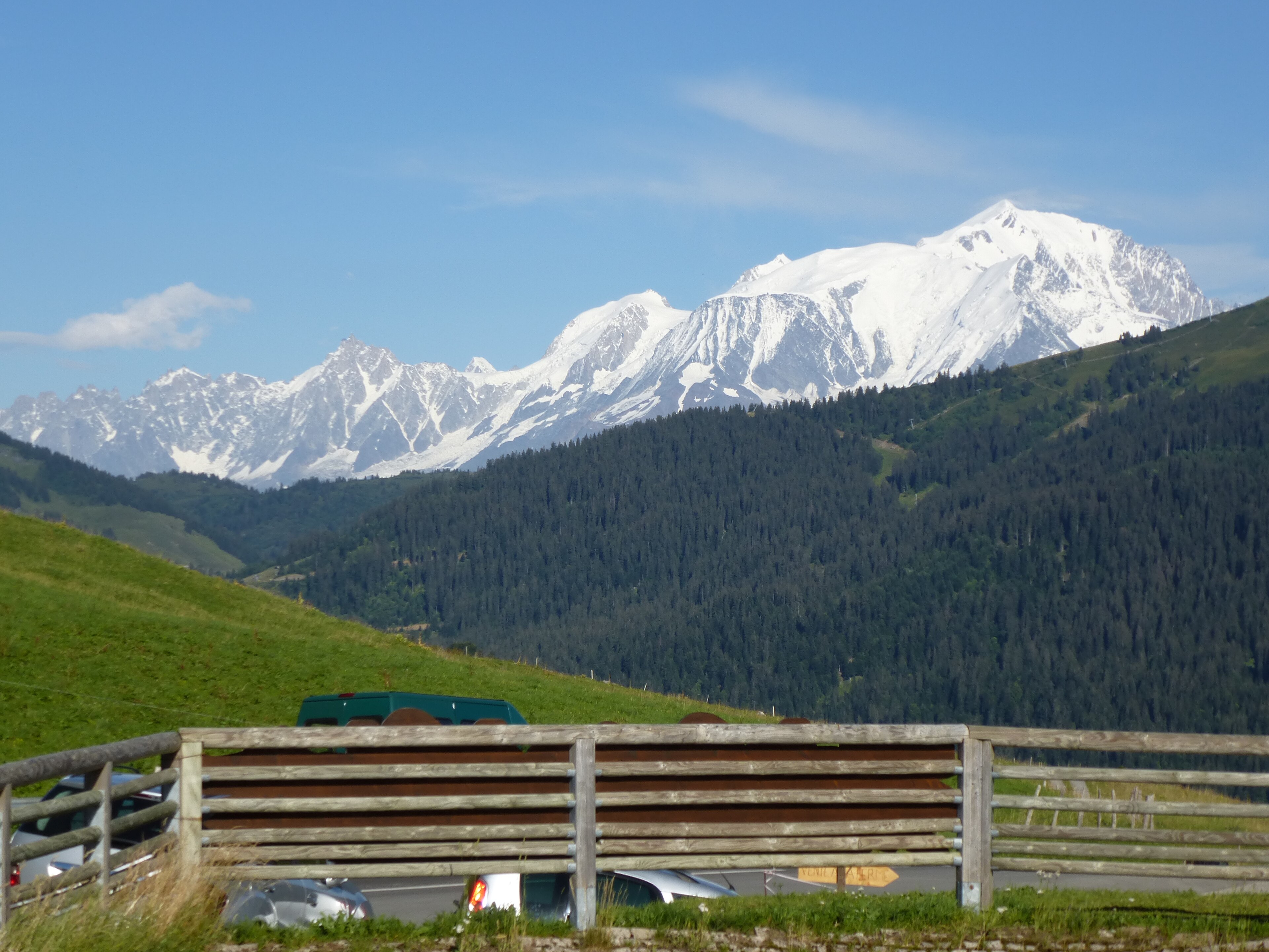
Northern Alps – Warm-up Phase
chisloup, CC BY 3.0, via Wikimedia Commons
The opening days ease you into the rhythm — but make no mistake: the climbing starts immediately.
Col de la Colombière (1,613 m)
- Length: 11.7 km
- Elevation gain: 680 m
- Avg gradient: 5.8%
Ride feel: Steady, controlled. A proper opening test.
Col des Aravis (1,486 m)
- Length: 11.5 km
- Elevation gain: 575 m
- Avg gradient: 5.0%
Ride feel: Flowing and scenic. Mont Blanc views on clear days.
Col des Saisies (1,650 m)
- Length: 14.0 km
- Elevation gain: 770 m
- Avg gradient: 5.5%
Ride feel: Diesel climb. Easy to overpace.
Cormet de Roselend (1,968 m)
- Length: 20.0 km
- Elevation gain: 1,200 m
- Avg gradient: 6.0%
Ride feel: First true Alpine highlight.
High Alps – The Core

This is where the route earns its reputation: altitude, exposure, and sustained climbing.
Col de l’Iseran (2,770 m)
- Length: 28.0 km (from Bourg-St-Maurice)
- Elevation gain: 1,540 m
- Avg gradient: 5.5%
Ride feel: Endless. Oxygen becomes a factor.
Col du Télégraphe (1,566 m)
- Length: 12.0 km
- Elevation gain: 850 m
- Avg gradient: 7.1%
Ride feel: The quiet grinder that sets up the damage.
Col du Galibier (2,642 m)
- Length: 18.0 km (from Valloire)
- Elevation gain: 1,250 m
- Avg gradient: 6.9%
Ride feel: Classic Alpine brutality — especially above 2,000 m.

Col du Lautaret (2,058 m) — descent to Briançon
- Length: 27 km
- Elevation gain: 0 m (net descent ~650 m)
- Avg gradient: -2.4% (net)
This isn’t a climb — it’s the long descent into Briançon. Often fast, sometimes exposed, and frequently affected by headwinds or crosswinds that can turn it into a grind.
Ride feel: Should be recovery. Often isn’t.
Col d’Izoard (2,360 m)
- Length: 19.0 km (from Briançon)
- Elevation gain: 1,050 m
- Avg gradient: 5.5%
Ride feel: Forest → rock → the lunar Casse Déserte.

Col de Vars (2,108 m)
- Length: 19.0 km
- Elevation gain: 1,080 m
- Avg gradient: 5.7%
Ride feel: Fatigue accumulator.
Key Decision – Cayolle vs Bonette
Col de la Cayolle (2,326 m) — Classic RGA
- Length: 29.0 km
- Elevation gain: 1,300 m
- Avg gradient: 4.5%
Ride feel: Natural, irregular, quiet.
Best for: Flow, efficiency, solitude
Col de la Bonette (2,715 m) — High Route Variant
- Length: 24.0 km (+ optional Cime loop)
- Elevation gain: 1,600 m (+ ~100 m for the Cime)
- Avg gradient: 6.7%
Ride feel: Big, exposed, demanding.
Best for: Maximum challenge
⚠️ Adds significant fatigue vs Cayolle.
Finale – Col de Turini (1,607 m)
- Length: 24.0 km
- Elevation gain: 1,500 m
- Avg gradient: 6.3%
The final test before the Mediterranean.
After Turini, the road toward Nice is interupted by two minor climbs, the Col de Castillon and finally the Col d’Èze — then a fast, emotional descent marks the end of the journey.
Practical
Recommended Direction
- North → South
- Better wind
- Logical difficulty progression
Example 7-Day Plan
- Thonon → Beaufort
- Beaufort → Bourg-St-Maurice
- Bourg → Maurienne
- Maurienne → Briançon
- Briançon → Guillestre
- Guillestre → Barcelonnette
- Barcelonnette → Nice
Difficulty
- Physical: 🔴🔴🔴🔴⚪
- Mental: 🔴🔴🔴🔴⚪
Rider Notes
- Start early (weather + traffic)
- Fuel continuously
- Respect altitude
- Manage pacing in the first 3 days
Why Ride It?
Because nowhere else in Europe strings together this density of iconic climbs into one continuous journey. From glaciers to Mediterranean coastline, it’s the purest expression of high-mountain cycling.
This is not just a route — it’s a rite of passage.