
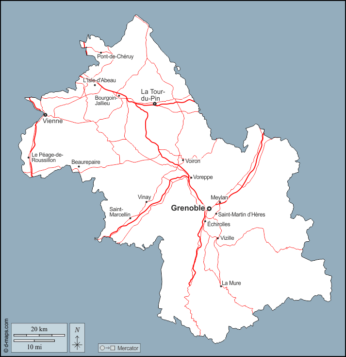
Isère is a department in the southeastern French region of Auvergne-Rhône-Alpes. It’s named after the Isère river and its prefecture is Grenoble.
It borders the departments of the Rhône to the northwest, Ain to the north, Savoie to the east and Hautes-Alpes to the south.
Isère features many ski resorts, including the Alpe d’Huez and Les Deux Alpes.
The 1968 Winter Olympics were hosted by Grenoble, with events in Chamrousse, Villard de Lans and Autrans.
My Tour de France adventures mainly feature climbs east of Grenoble in the Dauphiné Alps, more pricesly those around Bourg d’Oisans.
The passes out of this part of the Isère are
- Col de la Croix de Fer into the Maurienne Valley
- Col du Lautaret into the Haute-Alpes. From the summit of the latter you can get up the Col du Galibier, also crossing into the Maurienne Valley.
At the north end, near Pontcharra and not on the map below, there’s another col out of the Isère: Col du Granier from Chapareillan into the Savoie; none of the Savoie ends of the Granier cross into the Isère.
You can see more details on that part of the Isère / Savoie in the map of the Grésivaudan valley.
Map with most (cyclable) passes and dead ends in this region:
Background picture for this page by Gilles Guillamot, CC BY-SA 3.0, via Wikimedia Commons
