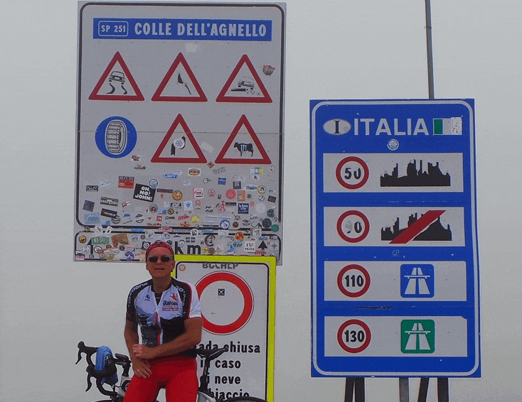
The Col Agnel / Colle Dell’Agnello is number three on the list of highest paved passes in Europe – the Cime de la Bonette not included.
With 2,744 meters it is Europe’s highest international pass, connecting France and Italy.
It was included in a Tour de France stage twice (2008 and 2011) but as the Galibier (2,556m) was also in those Tours, those passages were awarded the Souvenir Henri Desgrange for the highest col passed instead.
A not too busy road, where you’re not constantly overtaken – at high speed – by motor bikes or cars. The pass out of the valley on the opposite side – the Izoard – is a lot busier for that matter…
Report on my climb up this end of the Col Agnel in 2014 here.
Col Agnel from Guillestre
 The official start of the climb up Col Agnel from the north / French side is in Guillestre.
I got on the bike in Chateau Queyras, only a few kilometers from the foot of the climb, at La Casse / Ville-Vieile.
From there, you have 20.7 kilometer of real climbing ahead of you, but the 20-kilometer ride from Guillestre through the “Gorges du Guil” would be a very nice warm up – the altitude gain of roughly 400 meters, is almost negligible.
With an average of 4.1% from Guillestre, the Col Agnel may not seem like a tough climb, but from Ville-Veille the average of 6.6% is more “interesting”.
The first 7 km out of Ville-Veille and the final 8 km to the summit, contain stinging up to 10% sections.
So, once again, averages don’t mean jack shit, because the in between brings the overall average down to 6.6% over the 20.7 km…
The ascent is actually reasonably ‘straightforward’, ‘meandering’ up – only in the last five kilometers, you get some hairpin sections and prettier pictures if you’re into that sort of views.
Other than that, the views throughout the climb are often overwhelming in their wideness and the silence / absence of traffic is a relief…
Casteldelfino
 The Italian ascend of the Col Agnel – Colle dell’Agnello – starts in Casteldelfino, around 10 km in on the profile card.
It’s a little longer, at 22.5 km, but more irregular in the first half and quite steep in the upper half.
In that part – from Chianale – the road winds up at an average of 10% to the top, over a distance of about 9 kilometers – definitely more difficult than the upper half from the other end.
I have not climbed this side myself*, because at the summit, I turned around and descended back to Ville-Vieille, in order to then climb the Izoard.
Looking at the profile of the south side of the Col Agnel and taking into consideration that I’m not a fan of “irregular”, I’m not sorry I skipped it at that time and as it was, the Izoard was difficult enough for me…
+++
* I did tackle that end of the Agnel virtually, on Rouvy – that ride actually starts in Sampeyre. While that extra distance is not too difficult, I experienced that they wear you out just enough to make the final almost insane.
I was more exhausted when I finished that virtual ride, than when I got up the other end IRL…